Authors: Albert Qiang and Edward Lee
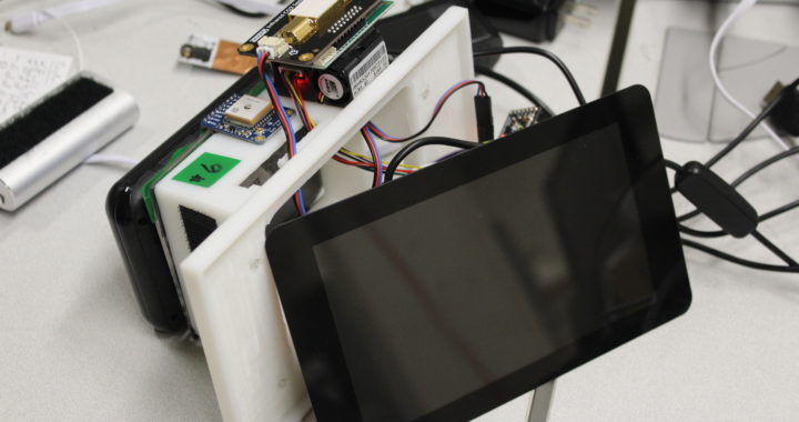
When tracking fluctuations in environmental data, geographical location is an important factor to consider. While the mobile stations have previously lacked this capability, over the course of this project we developed software to incorporate GPS data into the mapping of environmental and radiation sensor data, allowing for real-time tracking of measurements with location. Preliminary tests with the new integrated data were conducted around the UC Berkeley campus. In the future, we hope to be able to port this software to all of our mobile stations and create a robust app that will users a sense of how environmental measurements are affected by geographical location.